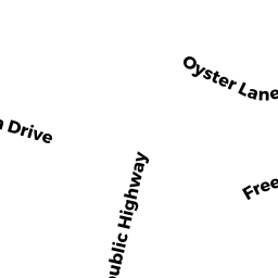
0 STATE HWY RTE 6
Owner Information
THIMAS DONALD H & PAUL R
693 ROUTE 6
WELLFLEET, MA 02667


Property Details
0 STATE HWY RTE 6 is classified as a Undevelopable Residential Land.
0 STATE HWY RTE 6 is valued at $7,400. The land is valued at $7,400 and the structures are valued at $0.
This property is in Zone R30. Confirm with local Zoning Board authorities to ensure there are no overlays or other easements on this property.
The most recent deed for 0 STATE HWY RTE 6 is recorded at the local registrar in Book 7107, Page 140. 0 STATE HWY RTE 6 was last sold on Wednesday, March 28, 1990 for $1.
Assessment data from fiscal year 2022.
Flood Data
This property is partially within the AE Zone (within floodplain). Approximately 0.16 acres (48.04%) of the property is within this zone.
The base flood elevation for this flood zone is 13 feet.
This information is sourced from the FEMA National Flood Hazard Layer. See our full disclamer.
Broadband Internet Providers
| Provider | Type | Bandwidth (mbps) | |
|---|---|---|---|
| GCI Communication Corp. | Satellite | 0 | 0 |
| T-Mobile | Fixed Wireless | 25 | 3 |
| Comcast | Cable | 1000 | 35 |
| Verizon New England Inc. | DSL | 5 | 0 |
| Viasat Inc | Satellite | 35 | 3 |
| VSAT Systems, LLC. | Satellite | 2 | 1 |
| HughesNet | Satellite | 25 | 3 |
Broadband service provider data from December 2020.
Adjacent Properties
- 0 STATE HWY RTE 6
Undevelopable Residential Land owned by THIMAS DONALD H & PAUL R - 65 CASTAGNA DR
Single Family Residential owned by LANDRY DONALD L TRUSTEE - 0 STATE HWY RTE 6
Undevelopable Residential Land owned by THIMAS DONALD H & PAUL R - 0 STATE HWY RTE 6
Undevelopable Residential Land owned by THIMAS DONALD H & PAUL R - 35 JASON PATH
Single Family Residential owned by KOCH ANN MARIE